43% of homes exposed to a climate risk: what to check before buying?
An Insee study published on 3 November 2026 measures the housing stock’s exposure to four major hazards. For a buyer, these data are a prompt to examine the address, the building and the protections in place. Exposure must be understood before it is turned into a decision or a price.

Gaston michelin
Agent immobilier
Climate risks are increasingly part of property discussions. Yet they are still often dealt with after questions of size, financing and works. Insee’s 3 November 2026 release is a prompt to change that order. When a home is exposed to flooding, ground movement or wildfire, its use, upkeep and resale may call for a specific analysis. The right reflex is to document the risk early enough to build it into the project.
What Insee’s new overview measures
The study estimates that 43% of homes are exposed to at least one of four hazards: clay shrink-swell, wildfires, river flooding and marine submersion. About 8% are exposed to at least two of these risks. The authors point to contrasting territorial situations, notably in Gironde, in the Nord and in the Pas-de-Calais. [1]
These percentages describe a mapped exposure. They do not mean that the same proportion of homes has already suffered damage, will suffer it within the year or should receive an identical discount. The frequency of the phenomenon, its possible intensity and the characteristics of the building all enter into the real risk.
The overview also covers the hazards chosen by the authors. It is not an exhaustive diagnosis of every possible problem with a home. Summer heat, pollution or certain local constraints call for other information. A national study opens the checking; it does not replace examination of the plot.
Clay illustrates the importance of scope
Géorisques indicates that the updated mapping concerns about 12.1 million detached houses in zones of medium or high exposure to clay shrink-swell. The updated zoning has applied since 1 July 2026 to certain sales of building land and to the construction contracts concerned. This measure covers a different stock and framework from those of Insee’s global overview. [2]
The phenomenon corresponds to changes in the volume of clay soils according to their water content. Movements can affect foundations that are not adequately adapted. However, the presence of a mapped zone does not, by itself, describe the exact behaviour of the ground beneath a house.
This is why the reading of the map should be supplemented where necessary by a technical analysis. Cracks, repair history, drainage, vegetation and water management around the building provide useful information. A specialist opinion helps distinguish a superficial mark from a defect that requires investigation.
The address should be examined before the final negotiation
The first level of research is available on Géorisques. It makes it possible to identify hazards and the regulatory documents available. The owner can then provide the elements relating to the property: risk statement, works carried out, known claims and any studies. The aim is to connect territorial information with the concrete history of the building.
For the properties concerned, the risk statement must be provided at the first viewing, if one takes place. Service Public specifies that it must be less than six months old and be updated if the information becomes inaccurate before signing. These obligations give the buyer a documentary starting point. [3]
Having the document does not remove the need to read it. You must identify the risks mentioned, understand any requirements and ask for the additional documents that are useful. Leaving all these questions to the last meeting can make it harder to integrate works, financing and timetable.
The building can reduce or amplify exposure
Two neighbouring homes do not necessarily react in the same way to an event. The floor level, the position of technical equipment, the state of protections or the layout of access can change the consequences of a flood. For a house, foundations and water management play a different role.
Co-ownership adds a collective dimension. A cellar or a car park may be more exposed than the apartment, while the cost of restoration remains shared according to the applicable rules. Meeting minutes and works decisions therefore complete the analysis of the lot being sold.
The subject should be approached with precise questions: which parts are affected, which protections work, who maintains them and what works are planned? A general mention on a map thus becomes a set of points that can be examined, rather than a reason for fear or for dismissal.
Insurance must be checked alongside the property’s budget
Natural-disaster cover depends on the applicable scheme and the terms of the contract. The Ministry of the Economy recalls that the mandatory surcharge rose from 12% to 20% for property-damage contracts since January 2025. This mechanism pools the financing of the risk; it is not a technical assessment of the home. [4]
Before buying, it is useful to ask for an insurance quote matching the address and the intended use. The owner must also understand the excesses, exclusions and reporting procedures. A guarantee removes neither repair delays nor the consequences of an interruption of use.
The budget can then include necessary protections, upkeep and a reserve for unforeseen expenses. The aim is to compare the real holding cost of the property with that of other homes. An identical mortgage payment can hide very different constraints.
How to build risk into the valuation
The sources consulted do not allow a national percentage discount to be applied to exposed homes. Value depends on local demand, the intensity of the risk, the quality of the protections and documented expenses. A quote or a study provides a far more useful argument than a flat reduction chosen at random.
For a seller, preparing the information avoids a late doubt weakening the transaction. For a buyer, gathering it makes an informed choice possible: accepting certain constraints, planning works or preferring another address.
Insee’s figures make the subject unavoidable. The property challenge is now to move from a national rate to a precise file. LGH Patrimoine helps you build the available documents into the analysis of the property, with the help of technical and insurance specialists when the situation requires.
Sources
[1] Insee - Overview of climate risks and property wealth - 3 November 2026
[2] Géorisques - Clay shrink-swell and updated map - Zoning applicable since 1 July 2026 to the operations concerned
[3] Service Public - Property risk statement - Consulted on 4 November 2026
[4] Ministry of the Economy - Compensation for natural disasters - Consulted on 4 November 2026
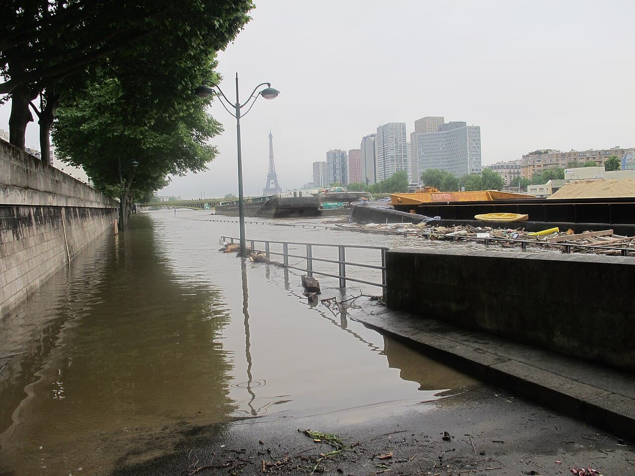
Photo credit: Celette, Crue 2016 16e 26.jpg / Wikimedia Commons — CC BY-SA 4.0. Archive photograph from 4 June 2016; flooding is only one of the hazards analysed in this article.